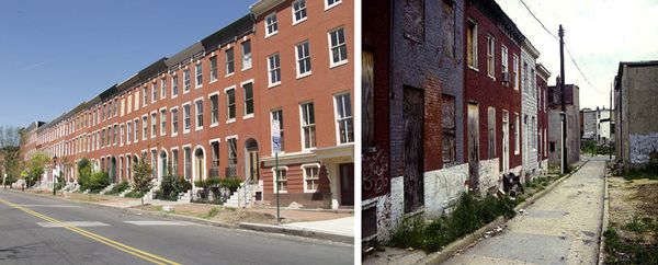
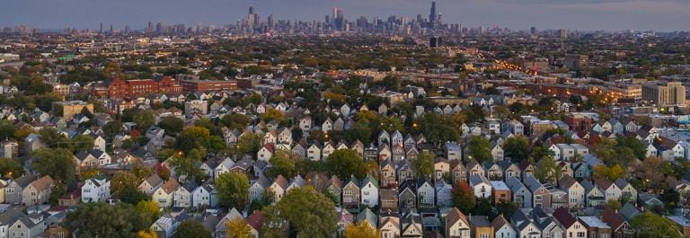
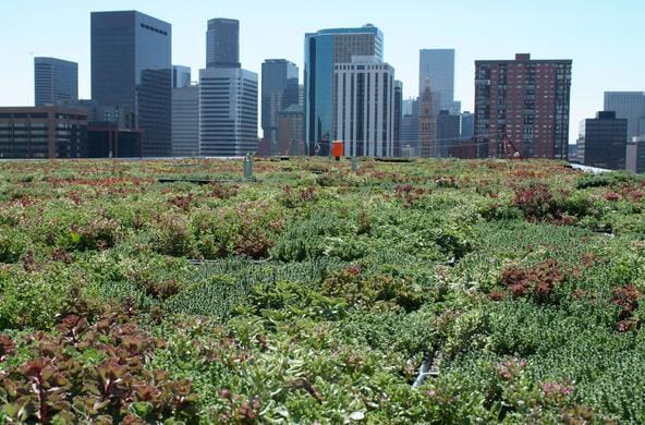
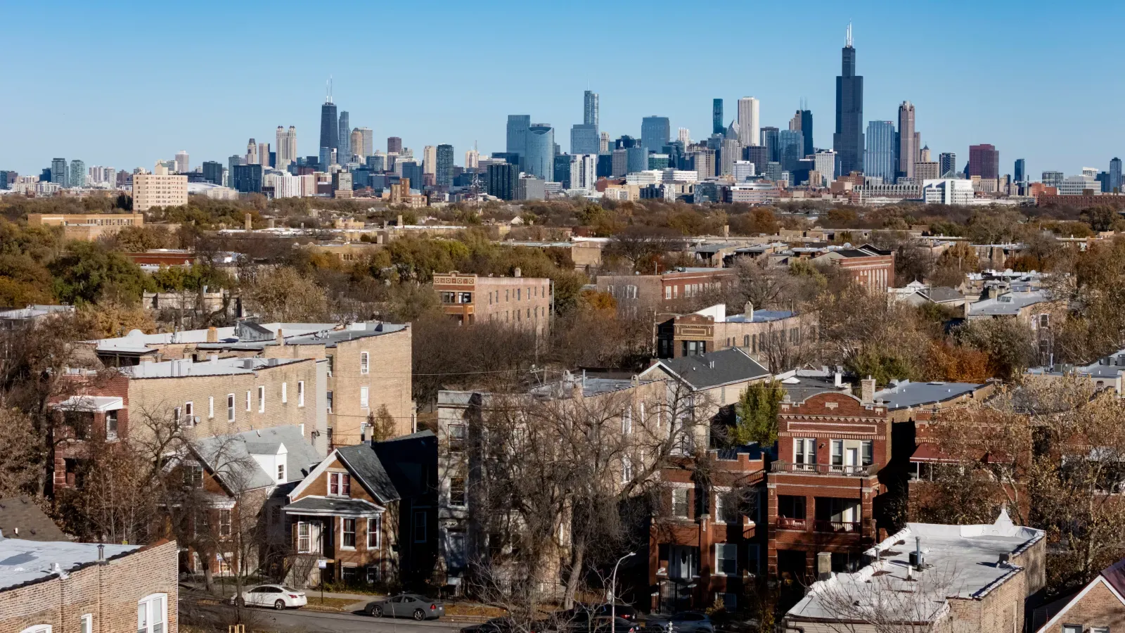
According to locally based environmental researchers, redlining (the discriminatory practice where banks and other institutions refuse to offer loans, mortgages, or insurance to people living in specific neighborhoods based on the race or ethnicity) of the residents didn't just decide where people could live. It also still decides who gets shade on a 95-degree day, whose basement floods, and who lives next to a landfill instead of a park.

That physical cultural division is at the core of a new special issue of the journal Proceedings of the National Academy of Sciences (PNAS), organized by researchers at the Cary Institute of Ecosystem Studies in Millbrook. Eight papers, all published together under the title "Segregation and Urban Ecology," provide scientific evidence of the physical scars Inequality has left on America’s face.

The Cary Institute for Ecosystem Studies in Millbrook, NY.

The papers assert that segregation is not only a social and economic system. It's also an ecological one. 

"Segregation affects who has access to safe housing, green spaces, climate protections, and other environmental benefits," says Steward Pickett, an urban ecologist and scientist emeritus at Cary who organized the project with Timon McPhearson, a Cary research fellow and professor at NYU. Pickett believes this can be corrected. "While these inequalities are deeply rooted in historical and ongoing patterns of segregation, they are not inevitable," he says. "There are steps we can take to help ensure that ecological improvements benefit all communities—not just those who are already advantaged."

Why an Ecologist Is Talking About Redlining

The authors confess that the field of ecology has mostly left segregation out of the picture, even in cities, where it arguably matters most.

"In an ecology class, they might talk about air, water, soils, nutrient cycling, and energy flow," Pickett says. "But what's not often on that syllabus is power—and power differentials are driven by race and class, access to opportunities that generate wealth, and other social hierarchies." His point isn't abstract. If you study a city's tree cover, its flood risk, or its wildlife without asking who has historically been allowed to live where, he argues, you'll misunderstand why those patterns look the way they do. "This stuff needs to be included in ecology textbooks," he says. "Because if we don't understand how something works, then we can't begin to repair it."

McPhearson makes a similar case from a different angle: You can't study how a city works, environmentally, and pretend segregation is a separate issue. "If you're doing work in urban systems, you can't ignore segregation because it's a big part of the social, economic, spatial, and power structures in any place where people live," he says.

What the Studies Actually Found

The eight papers each look at a different city or region, but they add up to a consistent picture.

One paper, using Baltimore as a case study, traces how decisions made decades ago—zoning maps, which neighborhoods got street trees, where the city put its landfills and waste facilities—still shape those same neighborhoods today. The pattern isn't a one-time historical injury that's slowly healing. It behaves more like a self-reinforcing loop: the paper describes segregation as a system that actively maintains itself over time, not just a scar left behind by the past.

A second paper, focused on Portland, Oregon, compared neighborhoods that were marked as undesirable on historical redlining maps with neighborhoods that weren't. The formerly redlined areas still have less tree cover, denser development, higher disaster risk, and worse health outcomes today—but the researchers found something more complicated too. Some neighborhoods that escaped redlining have since been hit by gentrification and displacement, and their environmental fortunes have shifted in ways the old maps never predicted. The lesson, one of the study's authors suggests, is that segregation isn't a fixed relic from the 1930s. It's an ongoing process, still being redrawn by today's real estate market.

A third paper turns to New York City and asks a very practical question: When a storm hits, who actually floods? The answer isn't simply about which streets sit lowest. The researchers found that the neighborhoods facing the highest flood risk are often the same ones with the least social and infrastructural capacity to handle it—thinner emergency resources, older infrastructure, fewer people with the means to evacuate or rebuild quickly.

Even something as innocuous and generally well intentioned as citizen science data has a segregation problem, according to a fourth paper. Researchers combed through nearly 60 million volunteer wildlife observations—the kind of data people log on birdwatching or nature apps—across 195 US cities, and found that formerly redlined neighborhoods are consistently undersampled. That's not just an inconvenience for scientists. It means whole neighborhoods are underrepresented in the data cities and researchers use to decide where nature actually is and where it needs protecting.

The special issue also looks beyond the US. A study of Valdivia, Chile—a wetland city sitting inside a global biodiversity hotspot—traces how segregation there was shaped by Spanish colonization and the displacement of the Indigenous Mapuche, then locked further into place by a massive 1960 earthquake, then reshaped again by free-market economic policies imposed under the Pinochet dictatorship in the 1970s. "Valdivia is a city of wetlands located in a biodiversity hotspot," says Cary scientist Elizabeth Cook, one of the study's authors. "It has a complex history that makes the access to and value of those wetlands and other green spaces very inequitable." A separate paper on Copenhagen found that even a city with a strong reputation for fairness isn't immune: stormwater management costs there still land disproportionately on residents of social housing.

Why it Matters 

None of this is presented as an argument that segregation is destiny. The researchers are explicit that the point of documenting these patterns is to interrupt them—not just describe them.

McPhearson frames the stakes directly: ignoring segregation while trying to fix a city's environmental problems doesn't just leave inequality in place. It can make it worse. "Despite significant research in the last decade or so on social and environmental justice," he says, "some researchers in ecology, geography, sustainability, and related disciplines have yet to fully engage with the historical and present-day segregation processes that continue to drive social and ecological life in cities." In practice, that means a well-intentioned climate adaptation plan or a new city park can still end up reinforcing exactly the inequities it was meant to fix, if planners don't account for who's been excluded and why.

The researchers describe this as the start of a new field rather than a finished body of work—something they're calling "ecology of segregation." Pickett says the goal now is to get other scientists, city planners, and policymakers to treat segregation as a factor that belongs in the room whenever decisions get made about trees, floodwalls, or parks—not an issue to be handled separately, after the fact, by someone else. "We hope our feature spurs additional research, innovation, and ultimately, practice," he says, "so we can expose and dismantle these previously invisible aspects of segregation."

The full special issue, "Segregation and Urban Ecology," is available at PNAS.

Share this post

Written by

Jamie Larson
After a decade of writing for RI (along with many other publications and organizations) Jamie took over as editor in 2025. He has a masters in journalism from NYU, a wonderful wife, two kids and a Carolina dog named Zelda.